- TOP
- RESEARCH AND DEVELOPMENT
- RisKma (water-related disaster risk mapping system)
RESEARCH AND DEVELOPMENT
RisKma (water-related disaster risk mapping system)
Real-time map information service predicting water-related disasters up to 36 hours in advance
RisKma (water-related disaster risk mapping system) is an online service that predicts sudden, localized downpours and torrential rains, which have been occurring frequently in recent years, and sends out information on the risk of water-related disasters in real time.
General users can also access the site through a browser to view information such as rainfall forecasts, flooding risks, and sudden, localized downpour (“guerrilla rainstorm”) forecasts displayed on a map, free of charge.
At the current level of functionality, the system is able to offer rainfall distribution forecasts up to 36 hours in advance. In addition, cumulative rainfall distribution data is delivered every five minutes, allowing users to grasp the current situation in real time.
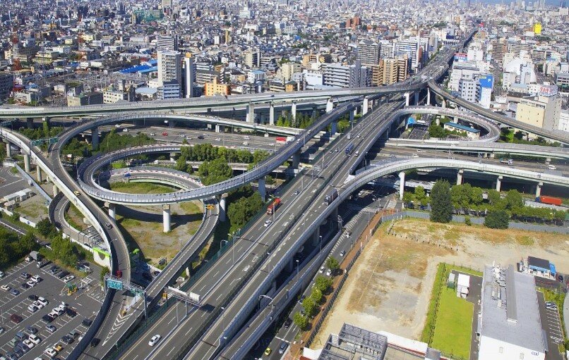
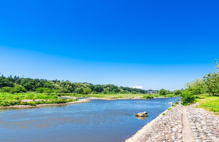
The flood risk function provides information on the risk of flooding due to sudden downpours and a “virtual water surface map” that visualizes the potential for flooding in target areas based on the water level of the river. The flood risk forecast provides real-time analyses and forecasts of flood risk up to 60 minutes in advance on a 250m x 250m grid map of Japan that refreshes every five minutes. The virtual water surface map illustrates the height difference of the surface of a nearby river and ground level at any given location by extending the water surface across the map in real time.
The “guerrilla rainstorm” forecast covers the Kanto, Hokuriku, and Chubu regions and displays information on torrential downpours for the next two to three hours. The system also provides an email alert service to notify users of this information when water-related disaster risks occur. The service provides users with real-time information on the risk of inland flooding and torrential downpours.

Virtual water surface map
Development of a river basin water cycle model and services for local governments and corporations
We have developed a river basin water cycle model for the entire Shikoku region in western Japan, as well as a system that can provide drought forecasts up to one month in advance. The river basin water cycle model combines a distributed rainfall-runoff model with the UNSAF groundwater model. This enables the provision of information on drought risk. This model helps water resource managers to implement effective drought countermeasures. Currently, we are developing a system that will expand this platform to provide useful information for facility operations and river use during normal and drought conditions, as well as during floods.
In addition, we are providing local governments and corporations with professional services on water-related disaster countermeasures for torrential rains, floods, and local runoff, as well as water-related disaster data through RisKma. The system can be customized with a wide range of functions to predict flood inundation areas, save office locations on the map, visualize the distribution of flood warnings by level, show landslide disaster warning areas, and communicate information in numeric data, among others.

Water cycle image